

Britain’s imperial expansion depended not only on distant colonial connections but also on a substantial network of shorter maritime routes. Research covering the late 16th to the mid-18th centuries indicates that commerce within Britain and with European countries accounted for a significant majority of its trade. In 1696–1697, European markets represented 80 per cent of the value of Britain’s global commerce, despite the empire’s growing connections with Asia and the Americas.
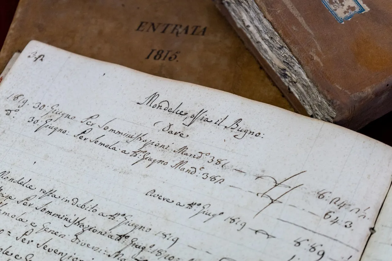
Historians used artificial intelligence to extract information from hundreds of thousands of handwritten pages of port records, which begin in 1565 and are held at the British National Archives. Trained to interpret individual handwriting styles, unusual notations and changing spellings, the software accelerated a process that still required manual verification. The resulting searchable database connects shipping information to an interactive map, allowing users to trace routes by vessel name, commodity, departure port, destination or year.
The records reveal a network exceeding 3,000 ports worldwide, more than 1,000 of them in Britain. Coal dominated the recorded cargoes, with over 101,000 entries. Baltic timber was another important supply, meeting Britain’s extensive shipbuilding needs. Hull and Whitby served as significant links with the Netherlands and Scandinavia, while Newcastle and Sunderland were important centres for coal shipments. These trading patterns place coastal transport and European exchanges at the heart of the economy that supported Britain’s expanding overseas reach.