

As the British Empire expanded, its ships connected Britain with distant places in Asia and the Americas. However, new research shows that shorter routes within Britain and to other European countries accounted for most of its trade. In 1696 and 1697, European markets represented 80 percent of the value of Britain's worldwide trade.
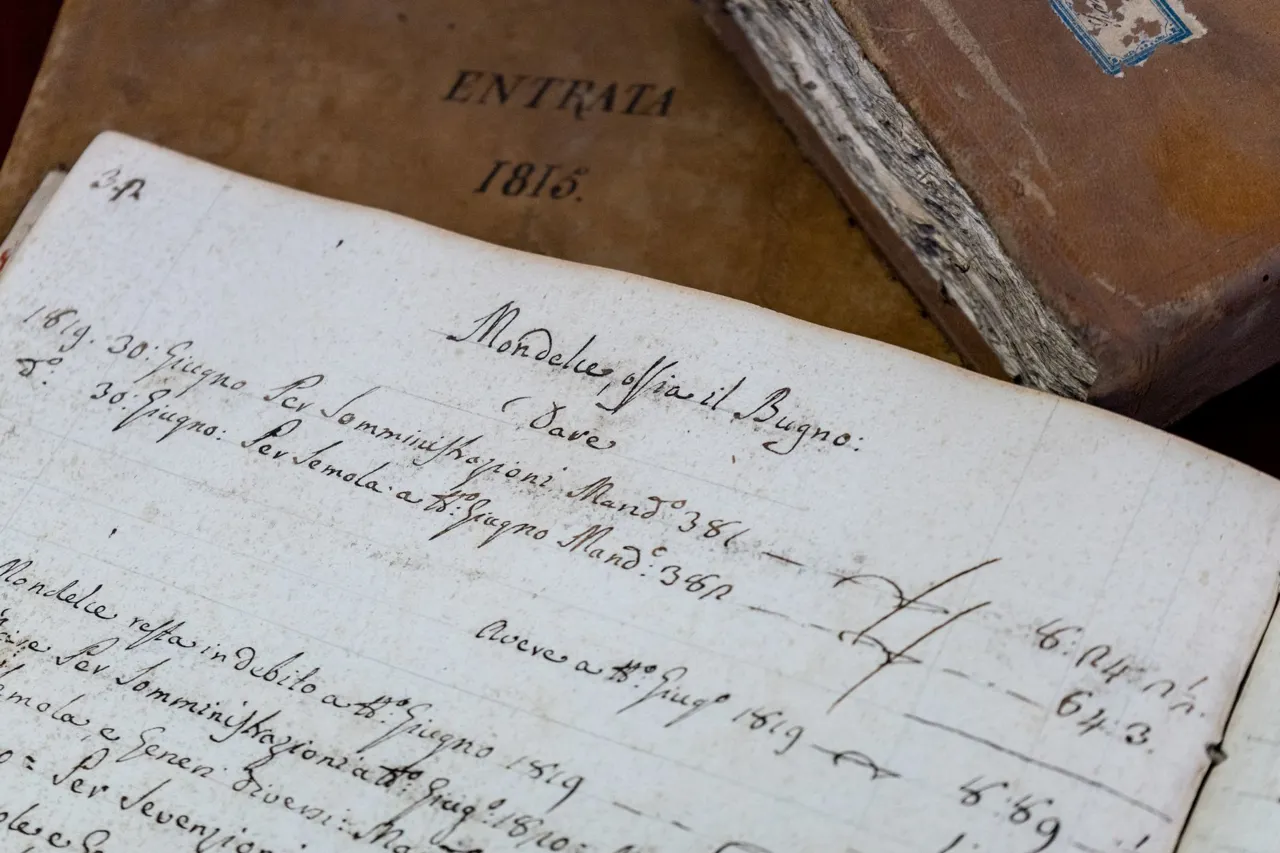
Historians at the University of Southampton built a searchable online database from handwritten port records dating from 1565 onward. They used artificial intelligence to read hundreds of thousands of pages, training software to recognize different handwriting styles and changing spellings. Although people still had to check the results, AI greatly accelerated the work. Users can search by ship name, goods, departure port, destination or year, then view the routes on a digital map.
The records reveal a network of more than 3,000 ports worldwide, including over 1,000 in Britain. Coal was the most frequently recorded product in the material analyzed, appearing in more than 101,000 cargo entries. Ships traveling between English ports carried coal, grain and other essential goods. This coastal trade was fundamental to the economy, even while Britain's overseas connections were growing.